
Notice From the First Selectman's Office Regarding December 10-11th, 2023 Storm
The Emergency Management Team of the Town of Deep River along with the First Selectman's office conferred with other state and municipal leaders along with the Governor's office in a zoom call at 1 PM. At 6 PM we were updated with the latest on the storm. We are keeping an eye on things and prepared to take action if necessary.
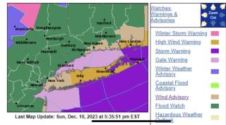
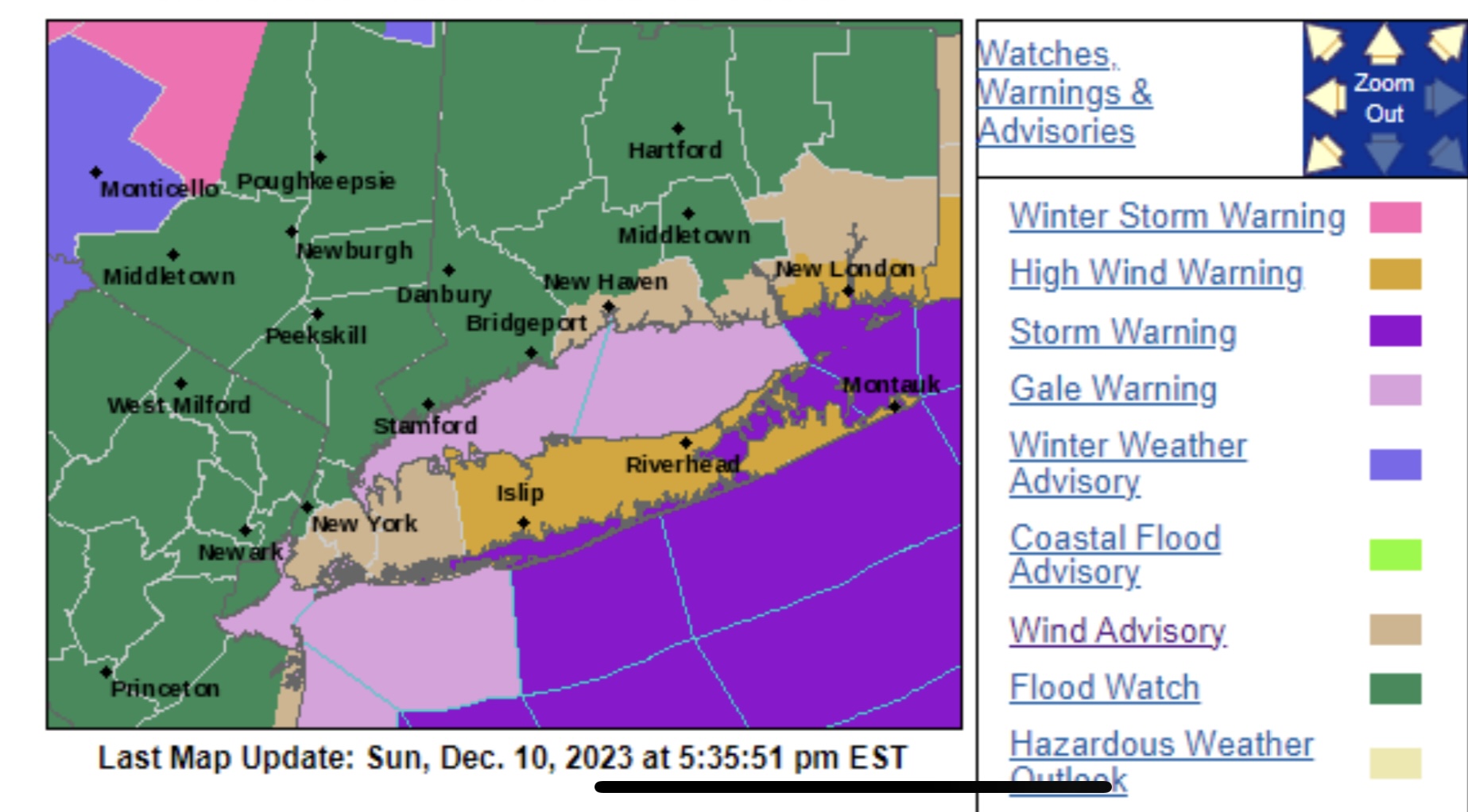
Please be aware that a Flood Watch is in effect for all of Connecticut. A Wind Advisory has been issued for southern portions of Middlesex county. Weather models continue to point toward a significant flooding event for the state with the worst flooding expected in areas to the east of Hartford.
If traveling, please avoid driving through any standing water. Do not approach any downed power lines; assume they are live wires, and call 911 to report. Eversource has added additional crews to handle any power outages due to downed trees and wires.
At this time, scattered areas of moderate to heavy rain has entered the state and will continue into the morning hours. The heaviest rain will arrive late tonight and continue until 6am. Rainfall totals of 3 to 5 inches are expected with higher totals possible. Minor to moderate river flooding is currently forecast and, in some areas, moderate to major river flooding may occur along the smaller rivers and streams throughout the state.
Damaging Wind Threat: Wind gusts of 35 to 45 mph are expected for inland areas of Connecticut. Coastal communities and eastern CT could see gusts to 55 mph. The strongest winds will occur from midnight until 5 AM.
Please stay safe. We will send updates as new information comes to light.
Carol Jones, First Selectman
| Attachment | Size |
|---|---|
| 314.17 KB |